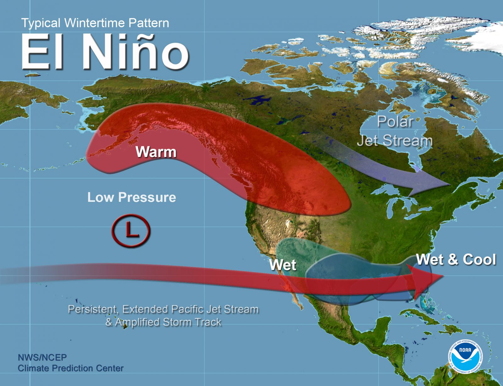
Following several erratic predictions by the Kenya Meteorological Department the El Niño weather syndrome has finally hit East Africa.
Although the weatherman’s predictions for certain areas of the country have fallen short an easterly belt of torrential rains is spreading from DRC across the equator onto the Indian Ocean.
The latest satellite image provided by the World Meteorological Organization (WMO) shows regular rainfall spreading out across the global belt beginning from southern America across the Atlantic Ocean onto the African continent and onwards to the Indian Ocean.
Heavy storms were reported yesterday afternoon in Goma (DRC), Masaka (Uganda) and Turbo in Uasin Gishu (Kenya).
The Kenya Meteorological Department singled out parts of Nyandarua, Laikipia, Nyeri, Kirinyaga, Kiambu, Meru, Embu and Tharaka Nithi counties as targeted for excessive rainfall starting today.
Sporadic showers are projected to hit the North Eastern region of Kenya with Isiolo, Garissa, Wait, Mandera and Marsabit receiving more than usual amounts of rainfall in the next few days.
The El Niño weather syndrome is marked by excessive, intermittent rainfall that can either be mere drizzles or torrential downpours. In other places, the rain has been accompanied by blizzards causing flooding and destruction of infrastructure.
The Government of Kenya has already issued warnings to inhabitants of plains such as Ahero in Nyanza which are prone to flooding to make evacuation arrangements.
Rivers are susceptible to bursting their banks affecting farming activities in many places including the Yala Swamp wetland.

